WHAT WE ENABLE
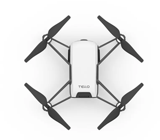
Team Yamama offers top-notch drone capabilities based on the niche of your projects and your organization’s day to day operational requirements. From the agriculture sector to industrial mining locations, we provide the drone capabilities that match your enterprise’s goals. Our wide range of high-quality drones and UAV(Unmanned Aerial Vehicle) do their work smartly and perfectly to take you leaps ahead to gather information required to execute the goals of your organization. For analysing a particular location, detecting objects or persons and tracking can be done in your industries for better productivity and check the flaws using our exceptional drone services.

Analysis
Tracking

Detection
DRONE SERVICE
Our dedicated team provide top-grade drone services reliably and effectively based on your demand and niche.
Aerial SURVEY AND
Remote sensing
Our advanced drones and UAV systems help to remote sensing for industries like mining and aerial surveying for the safety inspections in the mining fields.
Inspection and monitoring
We help you to perfectly capture the imagery for your digital inspections to monitor visual data in your industry.
Aerial Content
Take high-quality aerial content in the form of HD videos and photographs in an interactive form with our custom drone services.
AREA FOCUSED
SURVEY
Today, many land departments use drones for mapping and cadastre. For the accurate and precise topographic scanning and site scanning, many industries have already adopted drone technology. Our highly efficacious drones map the land and even single objects on the site. With our first-rate drones, you can perform topographic surveys in minutes and then create high-resolution 3D models and visual data.
MINING
A mining drone can collect timely, innermost and georeferenced imagery that can be reorganized into a clear-cut 3D copy to your site. You can use this visual data to calculate the depth, volumes, perform site surveys and design layouts etc. Our adept drone technicians configure each drone to map deposit sites, explore minerals, track equipment and surveying mines etc.
AGRICULTURE
From tracking the plant emergence precisely to planning drainage for the next season, throughout the season changes – our professional UAV agriculture drones will do the job. It will help you in crop monitoring, fertility assessment, harvest planning, irrigation planning etc. Our drones will assist in effective crop awareness by monitoring your crops from the sky and thereby help you to accurately manage and plan their operations.
INFRASTRUCTURE
Infrastructure monitoring is one of the most effective applications of drone technologies nowadays. Industries like gas and oil can utilise drone inspection services of their refineries and pipelines using our professional drone services. Our top-grade drones help you to inspect hard-to-reach sites and help in telecommunication towers’ maintenance that will reduce the human effort.
WHY CHOOSE US
We deliver precise mapping devices for remote sensing, aerial survey and inspection that will improve mining, agriculture and infrastructure sectors.

Quality
We assure to provide high-quality drones that map the area and site of your industry immaculately and perfectly, which generates high-resolution 3D models, videos, pictures and visual data.

Professional
We offer highly professional visual monitoring, scanning, locating, surveying and much more drone services. Get the accurate visual and topographical data to power your industry of organisation at every project.

Trusted
Improve your organisation’s operational productivity to analyse the processes and make better future decisions with our drone services. Our expert team of aerial inspections offers drone products that will completely satisfy your business niche.